Psiloritis UNESCO Global Geopark

A Few Words

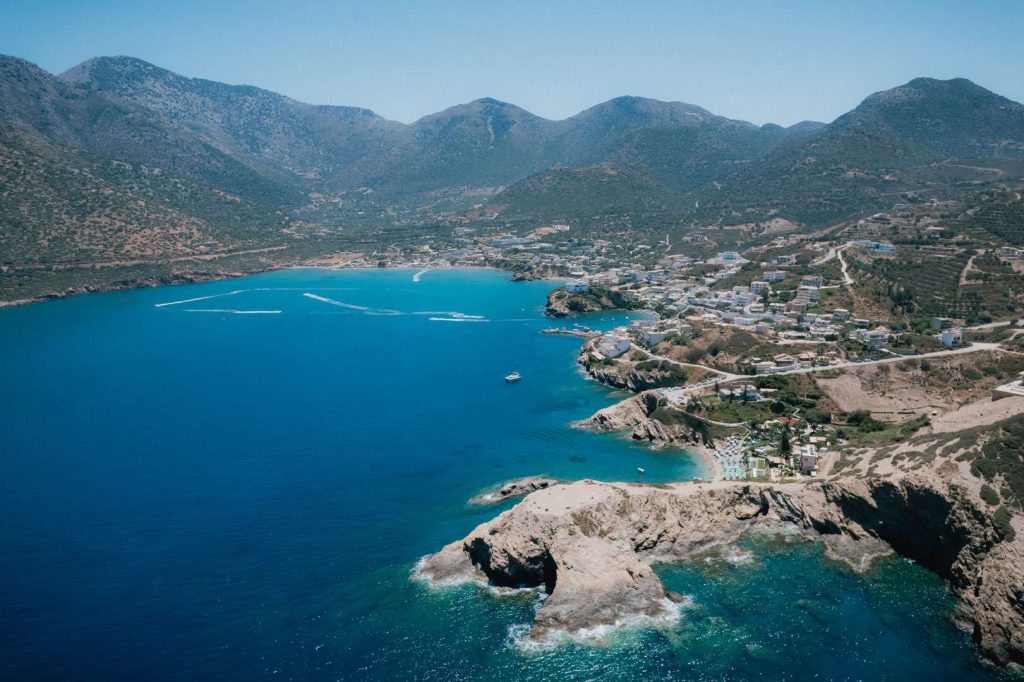
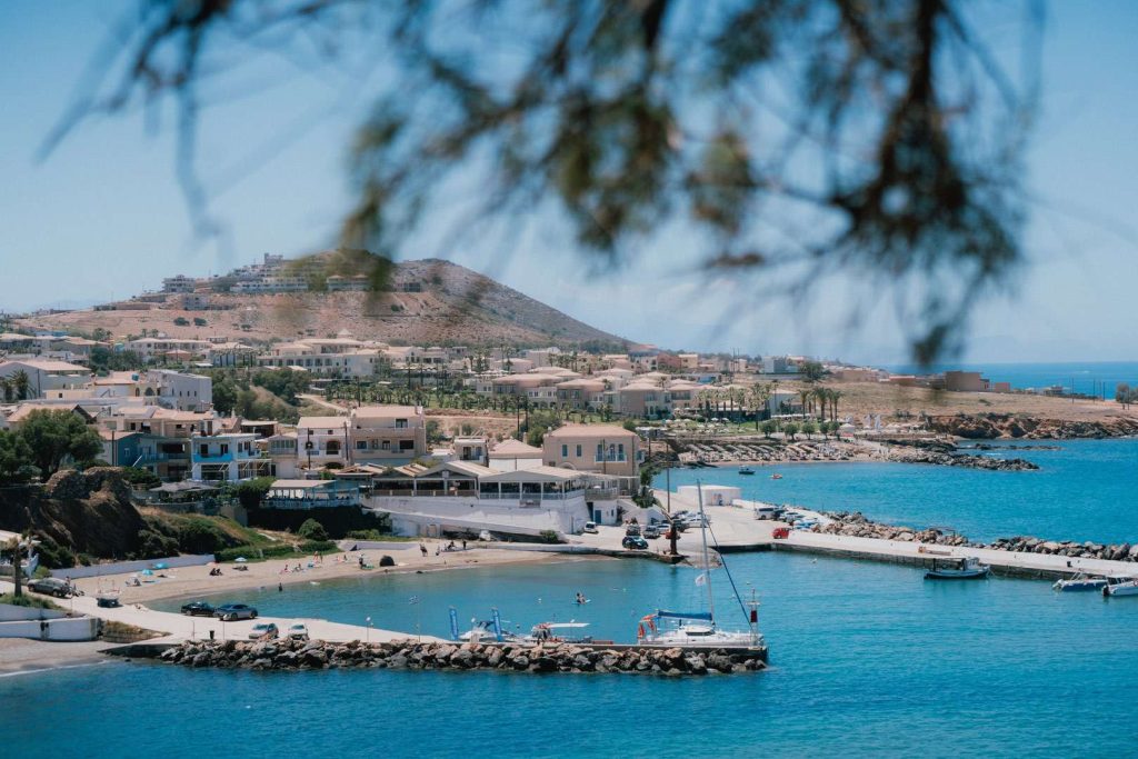
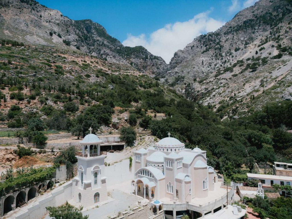
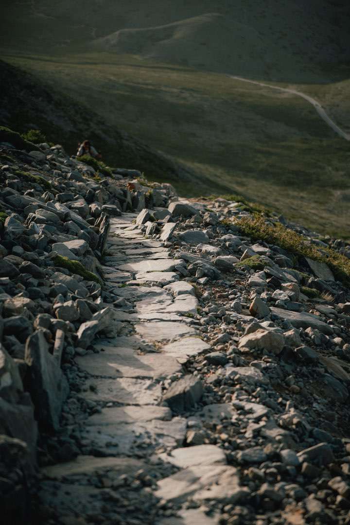
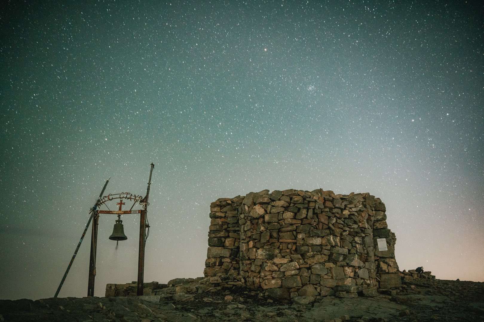
Psiloritis UNESCO Global Geopark lies in central Crete and is one of Greece’s most impressive natural areas. The geopark is centered around the Psiloritis mountain range, also known as Mount Ida, which is the highest mountain on Crete, reaching 2,456 meters (8,058 feet).

The geopark covers an area of approximately 1,272 square kilometers (491 square miles) and was recognized as a global geopark by UNESCO in 2015.

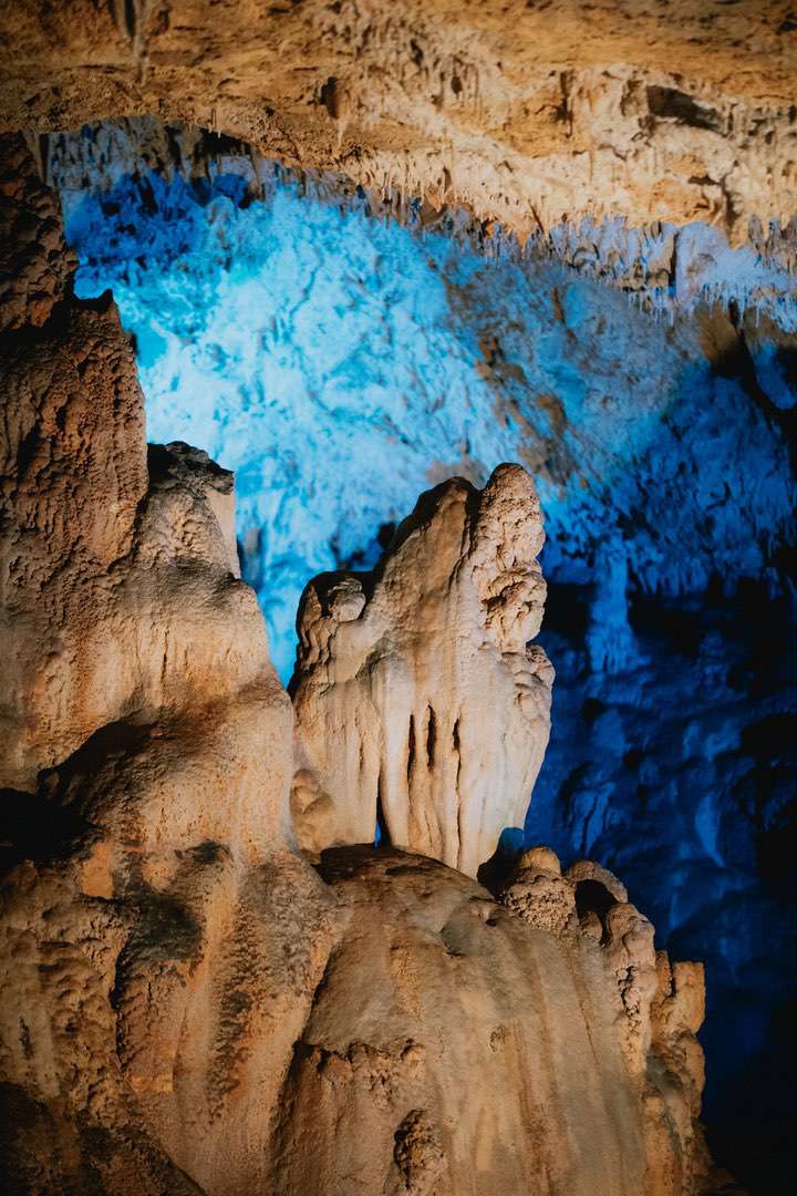
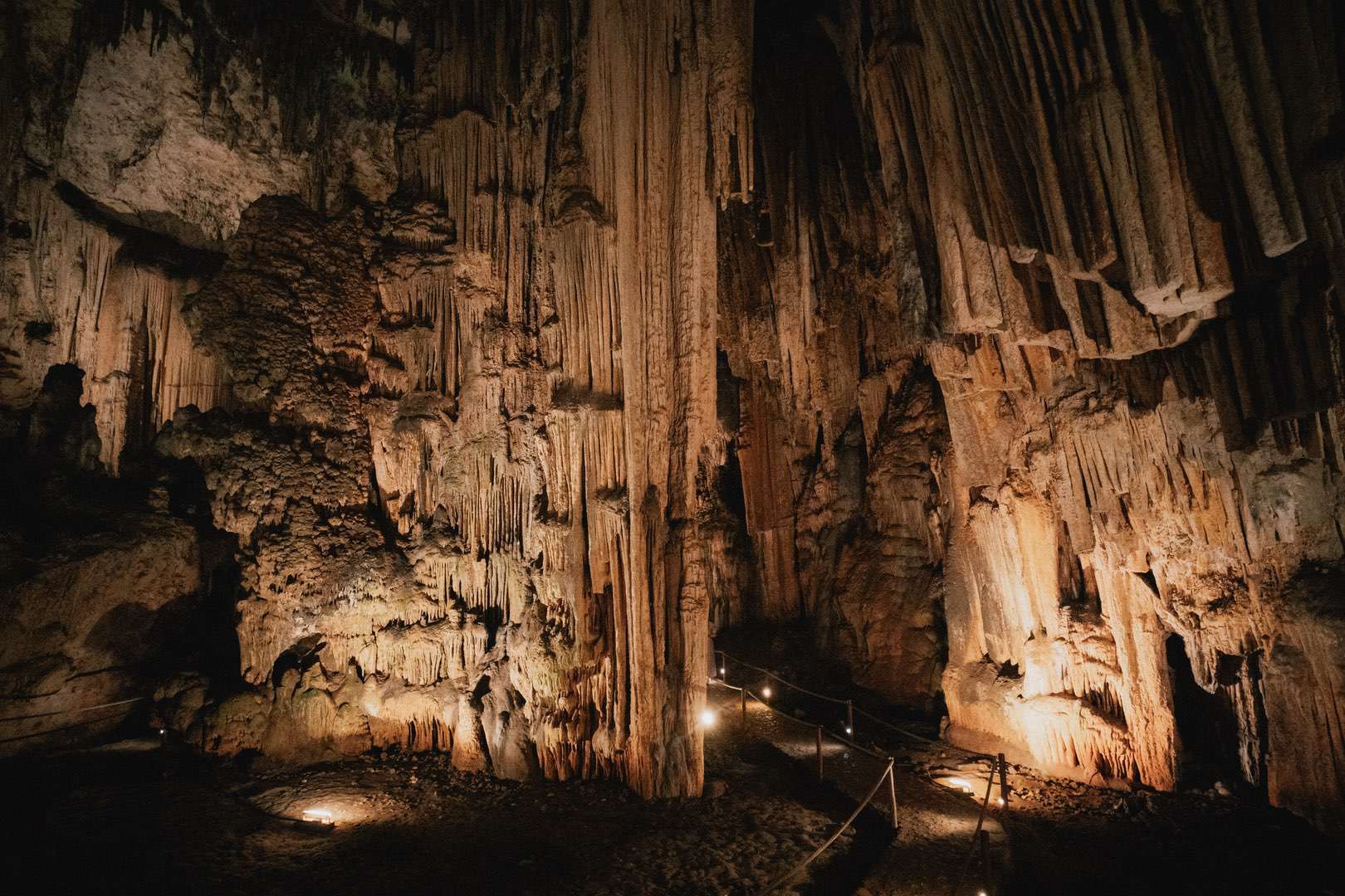
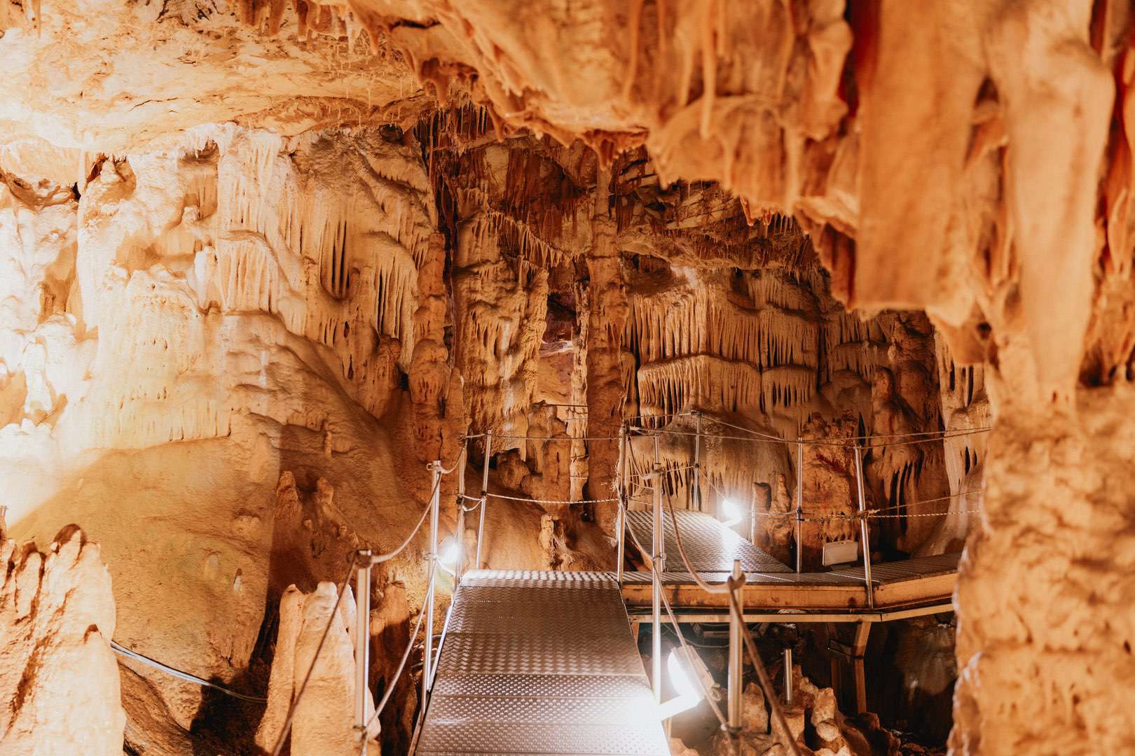
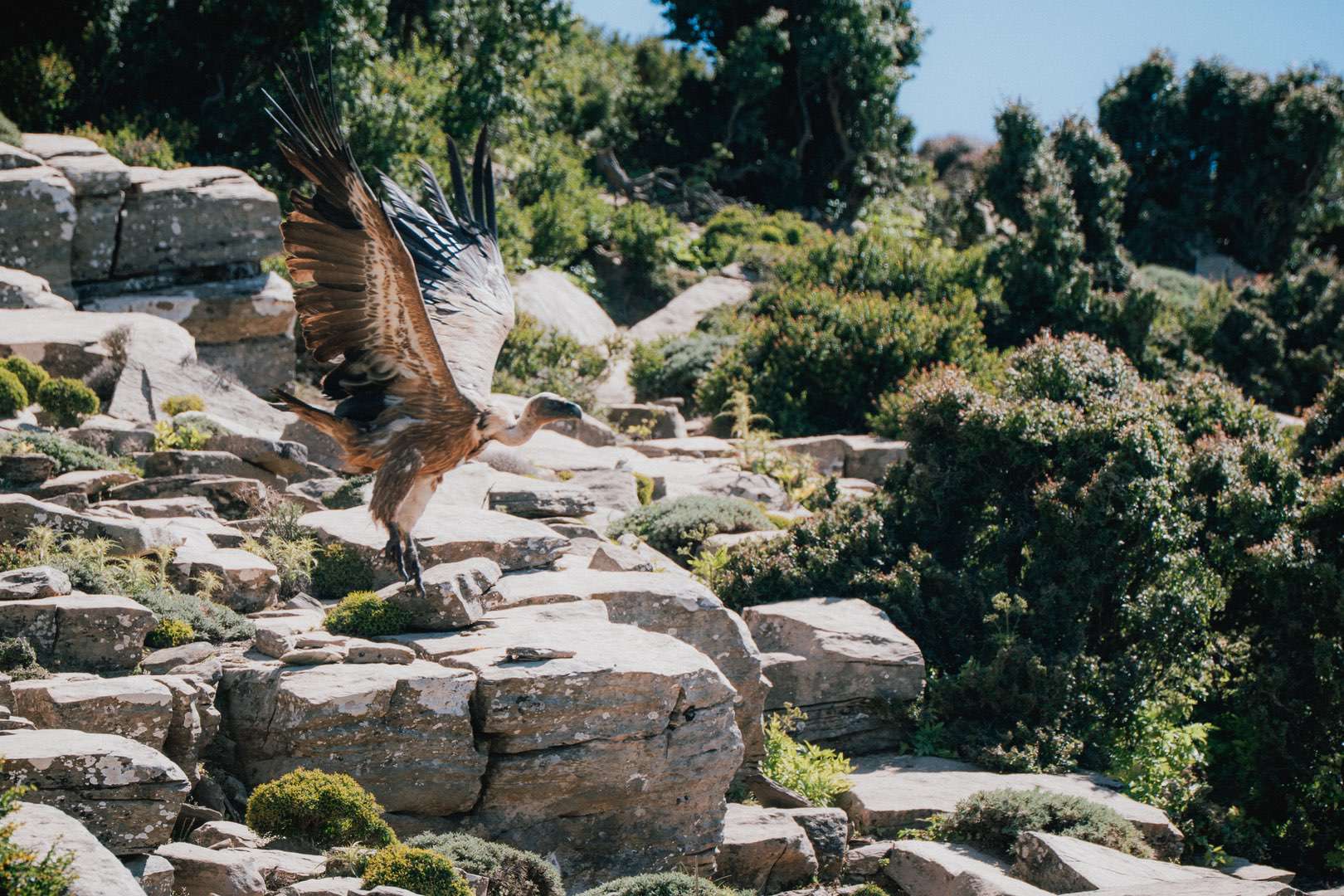
About 37,000 people live in the area. Psiloritis UNESCO Global Geopark has immense geological value, as it includes diverse geological formations and fossils that reveal our planet’s history over the last 250 million years.

The mountain is mainly composed of limestone and dolomite, which were formed during the Upper Triassic and Jurassic periods.

These geological formations have shaped spectacular natural monuments, such as caves, gorges, karst formations, and dolines.

Its unique geological feature is that it tells the story of the collision of the European and African tectonic plates.

The inhabitants of the Psiloritis region keep Cretan traditions alive, with an emphasis on music, dances, and festivals.

Local fairs and celebrations highlight the collective identity of the residents and are closely linked to the natural environment.

The geopark’s headquarters are located in Anogeia village, while since 2019, the “Network of Psiloritis Municipalities” has been the managing authority.” It includes over 80 geosites and georoutes .

Geoparks and Thematic Geotrails

Explore the thematic geotrails of the Geoparks and discover unique landscapes, geological phenomena, and cultural monuments through routes that combine nature and tradition.